Flood calculation for Sint-Oedenrode
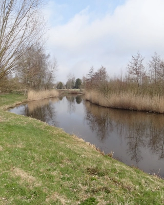
How can the area from Son to Sint-Oedenrode be better protected against flooding from the Dommel? Iv carried out a project for Waterschap De Dommel to assess this. Using SOBEK and GIS models, Iv determined the design high-water level, the extent of inundation and the effects on surface water. The relationship with the surrounding area was also assessed, in line with the principle of water and soil as guiding factors.
The challenge was to identify effective and feasible measures to prevent inundation. The analyses showed that 1.6 km of flood defences are required along the Dommel. As flood defences within the built-up area are not desirable, this called for careful integration and an integrated approach to spatial, technical and hydrological interests. Alternative water-level-reducing measures were also investigated, including in relation to groundwater and the existing water system.
By combining hydrological models with spatial analyses, Iv contributed to a robust, climate-resilient water system along the Dommel. The results provide valuable insights for improvement measures, enabling the area to meet the required flood protection standards once again. The project therefore contributes to sustainability and a safer living environment. The approach aligns with blue-green projects, where flood protection, liveability and spatial quality come together.
Wouter, managing director Infra and also COO of Iv, would be delighted to discuss this with you! Get in touch via +31 88 943 3200 or send a message.
